Nearer, Denser, Longer The Barents Sea Solution

Nearer, Denser, Longer

The Barents Sea Solution

Hammerfest, Barents Sea

The challenges of the Barents Sea are addressed using an innovative acquisition configuration and advanced imaging technologies

Location

Location
Hammerfest Basin, Barents Sea
Survey year
2018
Survey type
3D GeoStreamer
Streamer configuration
uHD3D, 16 x 56.25 m spread, 7 and 10 km streamers
Source configuration
Triple source
Area
4 172 sq. km

The Barents Sea is one of the remaining frontier exploration areas on the Norwegian Continental Shelf (NCS). According to the Norwegian Petroleum Directorate (NPD) the Barents Sea accounts for around half of the undiscovered resources on the NCS. This area is considered highly prospective at several target depths, which makes GeoStreamer broadband technology uniquely suitable. A new ultra high-density 3D dataset (orange outline) adds to existing 2D and 3D seismic and EM data coverage in the area.

Challenge

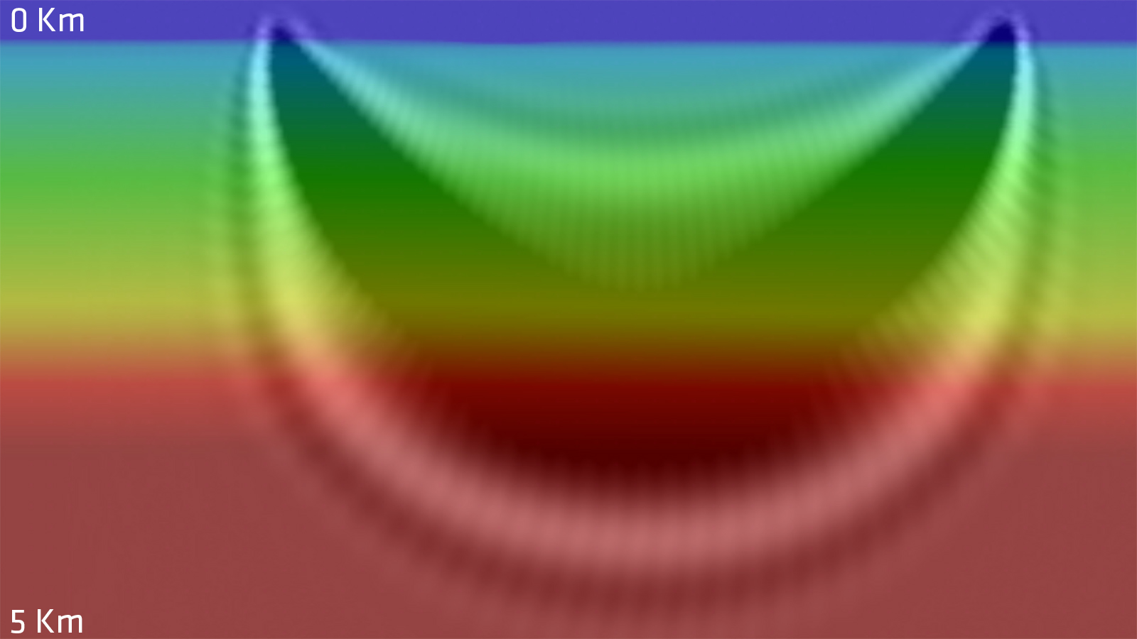
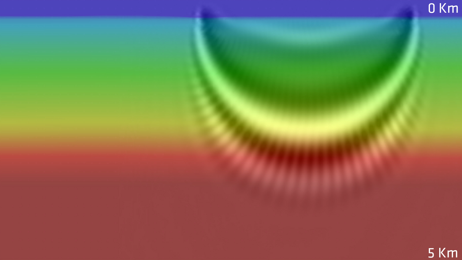
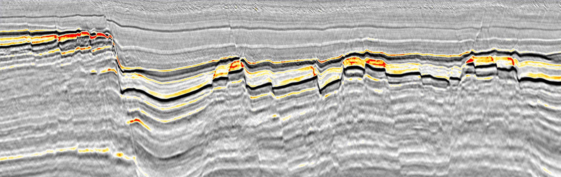
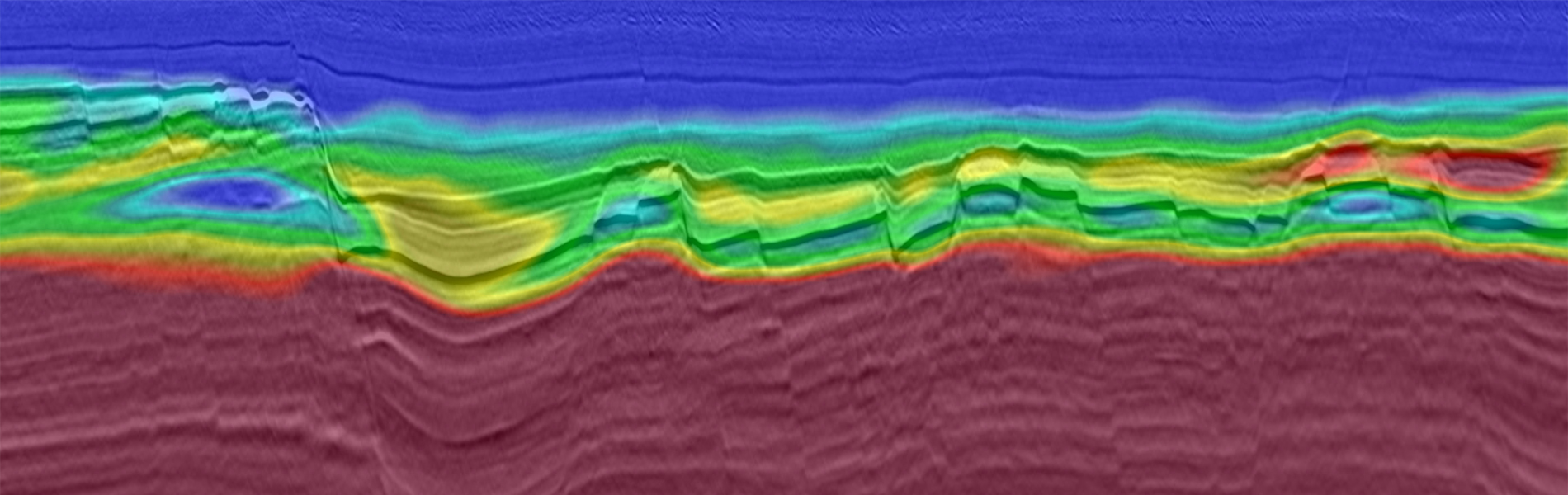
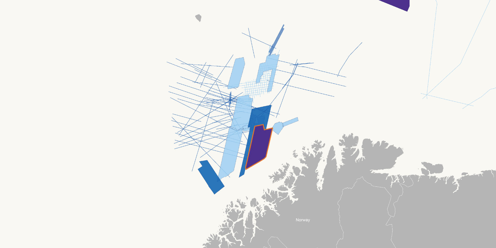
The south-western Barents Sea is characterized by a complex geological regime, with a heterogeneous overburden and different target depths (arrows). The combination of relatively shallow water depths and a hard, rugose sea floor, creates a tremendous amount of noise. This complicates using reflections in FWI for velocity updates. A key challenge in producing an accurate image of the subsurface is creating a reliable velocity model. Refraction based FWI has become the standard tool for velocity model building in the Barents Sea. However, due to the lack of recorded long offsets, model depths have been limited. Identifying porous carbonate buildups and sands has previously been difficult on legacy seismic data.

Solution

Data
High Density GeoStreamer 3D
Hyperbolic front end
Improved near offsets
Dense bin size
6.25 m x 9.375 m
Imaging
Up to 200 Hz
Velocity model building
PGS FWI using additional long offsets
Increased model depth
From 2.5 km to 4 km

In 2018 PGS and TGS utilized a novel acquisition setup for acquiring an ultra-high-density 3D seismic dataset in the Barents Sea, covering parts of the Hammerfest Basin and Finnmark Platform. In addition to 16 densely spaced streamers, three streamers were extended from 7 km to 10 km length, allowing the recording of deeper diving waves (refractions) and therefore enabling FWI to produce velocity updates to greater depths.

Diving Deeper with FWI from 10 km Streamers

7 km Streamers
10 km Streamers

With the unique, long offset streamer configuration deployed for this survey, a sufficient amount of diving waves from deeper geological layers were recorded. This resulted in an extension of the model update depth from approximately 2.5 to 4 km depth. With a maximum frequency of 15 Hz for the FWI, a great amount of detail is included in the velocity model.

Results

This acquisition configuration was developed to enable the best solution to resolve the challenges of the Barents Sea. Thanks to the additional long offset streamers and therefore increased model depth, detailed attribute maps can be extracted for both shallow and deep target horizons. The velocity contrasts captured in the depth velocity model allow accurate imaging of the subsurface without being biased by distortion effects caused by the shallow heterogeneous overburden. The velocities derived from FWI include valuable information for reservoir characterization where low velocities can be an indication for porous sands, karstified carbonates, hydrocarbons or high porosity areas in general.

Correlation Between Velocity and Amplitude Indicates Hydrocarbon Accumulations

Velocity
Amplitude

These stacks highlight a section around Top Realgrunnen at a depth of around 2.5 km. Within each fault block, low velocity zones are present at the top of the structure. These anomalous velocities correlate well with the seismic amplitude brightening and highlight areas of a potential increase in fluid accumulation.

Find Out More

Talk to our experts, select one or more options