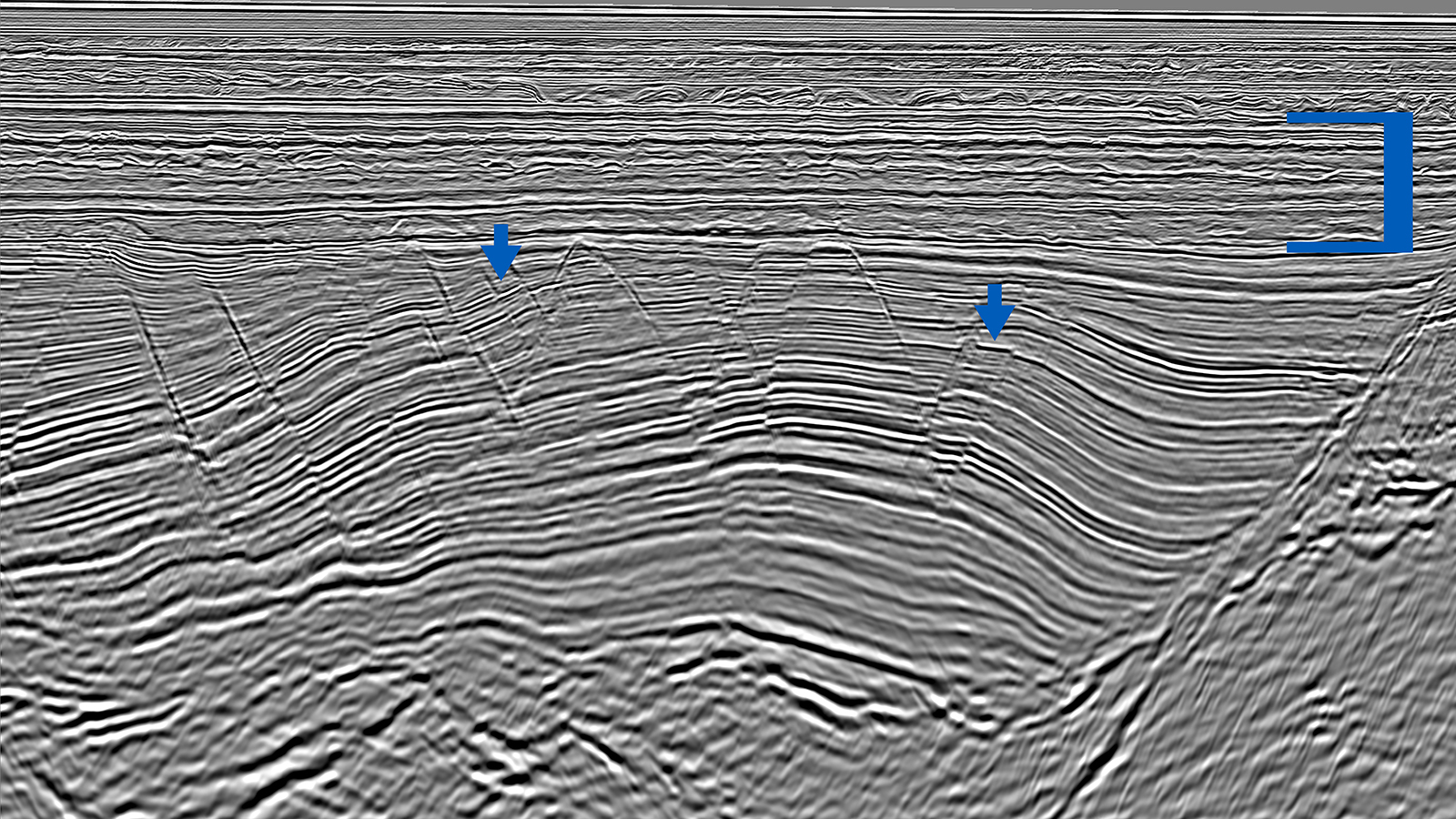
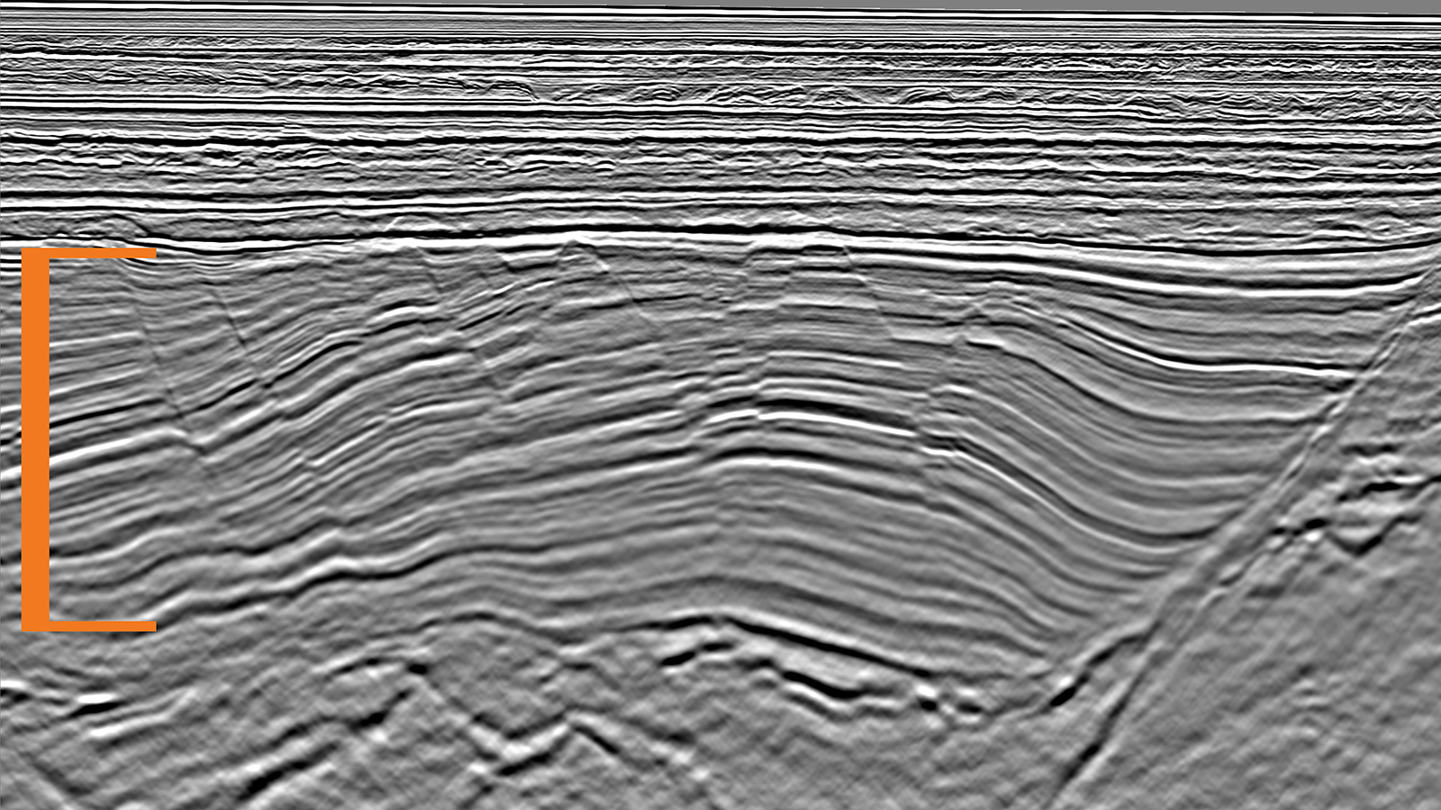
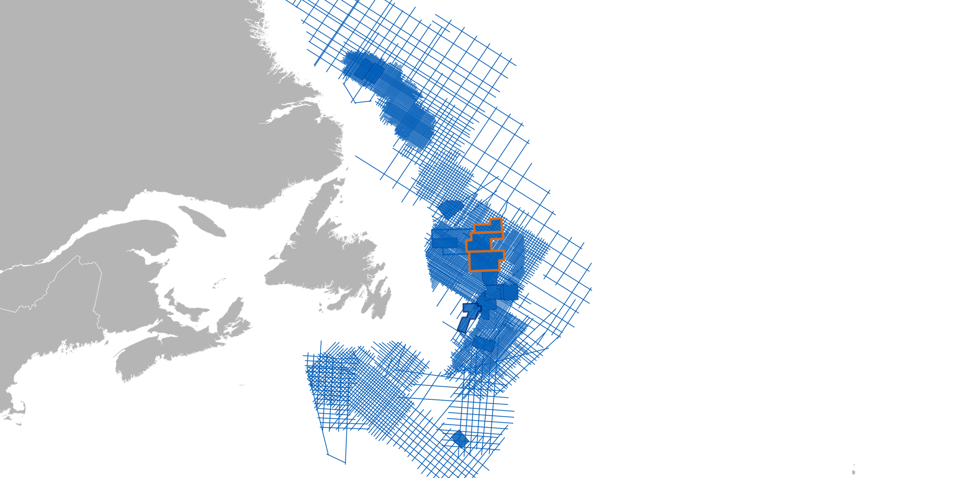
From Regional Prospect Screening to Reservoir Insight

From Regional Prospect Screening to Reservoir Insight

Orphan Basin, Canada

3D Geostreamer data enable regional prospectivity scanning and also detailed local appraisal of hydrocarbon potential using high-quality prestack data and rock physics analysis

Location

Location
Orphan Basin, Offshore Newfoundland & Labrador
Surveys
Long Range, Tablelands & North Tablelands
Survey size
9 840, 8 014 & 4 610 sq. km
Survey year
2017, 2018 & 2019
Survey type
3D GeoStreamer
Streamer configuration
16 streamers x 100 m x 8 100 m

A new, high-quality regional dataset covering 22 469 sq. km is enabling the identification of important petroleum system elements in the underexplored Orphan Basin. Block evaluations for the upcoming license rounds can be performed with confidence with this multisensor broadband seismic data and its reliable prestack attributes. This regional dataset is made up of the Long Range, Tablelands, and North Tablelands surveys which were acquired in 2017- 2019 by PGS and TGS.

Challenge

Stratigraphic complexity in the Tertiary reservoir section has traditionally been difficult to resolve on 2D data. East Canada requires deep structural resolution and high-fidelity data over deep and shallow targets. Strong lateral velocity variations between the Jurassic structural highs and the adjacent section add to the complexity. Wells drilled have been on the highs and not located accurately. 

Solution

Data
Broadband 3D GeoStreamer
Processing
AVO/AVA compliant
Imaging
Kirchhoff and PGS LSM
Velocity model building
PGS FWI and reflection tomography
Reservoir Characterization
Integrated quantitative interpretation

Depth migration techniques have been widely used in areas with strong lateral velocity variation. Least-squares migration is an emerging new imaging technique that compensates for acquisition limitations and variable illumination, and provides more reliable amplitude information particularly in areas of high structural complexity. In Tablelands, a data-domain LSM approach was selected to improve the vertical seismic image resolution and enhance the fault definition, especially in the syn-rift section.

Minimizing Drilling Risks and Improving Reservoir Understanding with FWI and LSM

FWI
LSM

Full waveform inversion (FWI) and least-squares migration (LSM) use the extra broad frequency range recorded in the GeoStreamer data to better estimate a detailed velocity field and produce a robust image of the subsurface. FWI addresses the key challenge of rapid lateral velocity variation while LSM increases the resolution in the reservoir sections.The FWI velocity model and LSM depth slice show the structural conformability of the estimated high-resolution seismic velocity field.

Delivering High-Resolution Images with Reliable Amplitudes with PGS LSM

WEM
LSM

60 Hz one-way wave equation migration compared with PGS LSM. Least squares migration delivers a higher resolution image with significantly improved fault definition. Blue and orange markers indicate improvements in the Tertiary and Jurassic respectively. Blue arrows indicate improvements in the Cretaceous and Jurassic.

Results

A final QI analysis including lithology and fluid prediction through a three-term AVO inversion was performed on the full integrity data from the Tablelands survey using all the available information including well log data. Three wells are present in the region of Long Range, Tablelands and North Tablelands; the Great Barasway F-66 well (drilled in 2006), Lona O-55 (drilled in 2010), and the Margaree A-49 well (drilled in 2013). These three wells drilled the main reservoir and source rock in the area. The Tithonian to Kimmeridgian interval was used to build a regional rock physics model. The Great Barasway well was modeled and has a good tie to the source rock and high-quality siliciclastic reservoirs.

Find Out More

Talk to our experts, select one or more options