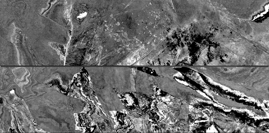
To examine the near-offset coverage, spatial sampling density, and broadband data-quality achievable with wide-tow multi-sources for shallow imaging, PGS employed a dense GeoStreamer spread and five sources with a total separation of 315 m.
The 3D volume just released proves the effectiveness of this acquisition setup, delivering high-resolution imaging of shallow targets and hazards, as well as excellent images of deeper geological structures and exploration targets.
Demonstrated Benefits
- High-resolution imaging of shallow targets and geohazards
- Uniform ultra-near-offset coverage
- Robust AVO for shallow targets
- Improved pre-processing, especially multiple removal (SRME)
- Dense spatial-sampling and high trace-density
- Uncompromised acquisition efficiency
“This dataset demonstrates the imaging clarity of shallow geological targets that can be achieved with wide-towed multisource and tailored streamer spreads. Once again, PGS has delivered excellent data quality efficiently, using an advanced acquisition setup," says Gunhild Myhr VP Business Development Eurasia.

The data was acquired on the Loppa High in 2020 as an extension of MultiClient survey PGS 20001 NBS. The full results from this survey will be available this summer.

Find Out More
To arrange a data show of this volume, PGS20001NB, or for more information about PGS tailored acquisition solutions, contact europe.info@pgs.com, or ask your PGS account manager.
Ultra-near offset coverage 0 - 100m offset range
Data acquired 2020 with a wide-penta-source
Comparison of ultra-near offsets
Contact a PGS expert
Please contact a member of our Europe team for more information.