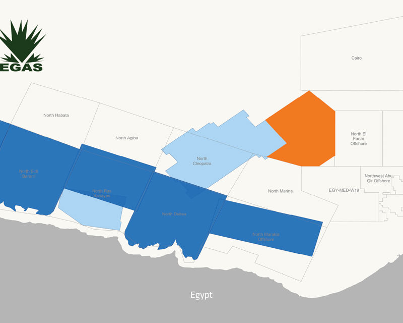
Early-out data is now available for EGY23 Merneith & Luxor MultiClient program. This provides the first 3D seismic data over the deepwater area between the Nile delta and the Herodotus Basin.
Encouraging imaging in the pre-Messinian section is already apparent in this pseudo relief image from the early-out KPSDM full stack volume through Merneith & Luxor MC3D.
The 6 175 sq. km EGY23 Merneith & Luxor survey draws on the expertise of our partners the Egyptian Natural Gas Holding Company (EGAS) and was acquired by leveraging the outstanding capabilities of PGS's uniquely reliable Ramform vessels and GeoStreamer broadband technology.
The survey provides the first 3D seismic data available over an underexplored and unlicensed deepwater area that was previously only covered by 2D seismic data.
Geology Revealed
A Messinian evaporite layer of variable thickness extends across most of the area. The survey is tied to the Kiwi-1 well, one of the few wells in this deepwater area, and primary targets are likely to be presalt Oligo-Miocene structures with clastic reservoirs.
GeoStreamer acquisition provides broadband data rich in both low and high-frequency information that can be reliably used for structural interpretation and rock property analysis.
Find Out More
Fast-track depth imaging (KPSDM) products covering this exciting area are now available. Please contact amme.info@pgs.com for further information or to arrange a data show or to discuss licensing options.
Data Library | EGY23

Contact a PGS expert
Please contact a member of our AMME team for more information.