

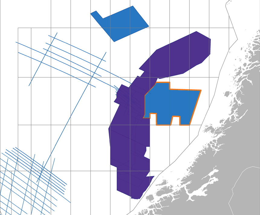
PGS has started acquisition of a 9 500 sq. km 3D GeoStreamer survey over exciting frontier acreage within the Trøndelag Platform and Helgeland Basin. Final PSDM data will be available in July 2020.
This regional 3D GeoStreamer survey is being acquired with a triple source to maximize data density. The results will allow you to unlock the potential of a highly underexplored area that is perfectly positioned to bring resources quickly to market.
In addition to providing an excellent basis for exploration decisions, the dataset can be used as a baseline survey for future 4D studies, making this a cost-effective solution for exploration, evaluation, field development, and production monitoring.
This is our ninth consecutive year of safe and reliable 3D GeoStreamer acquisition in the Norwegian Sea.
The application of GeoStreamer technology to the Trøndelag Platform will be beneficial for seismic velocity estimation, improving imaging of the Jurassic targets, and providing valuable information about presalt potential in the Permian.
PSDM and velocity model building technology will ensure that the clearest subsurface images are generated. Integrated Complete Wavefield Imaging of GeoStreamer data will allow detailed prospect evaluation and exploration for new plays. The superior AVO compliant dataset will be delivered ready for rigorous rock physics interrogations.
Find Out More
For further details on the Trøndelag Platform MultiClient project contact: europe.info@pgs.com
Contact a PGS expert
Please contact a member of our Europe team for more information.