Contact a PGS expert
Please contact a member of our Europe team for more information.
A new baseline for large-scale screening and interpretation offshore mid-Norway.


The Norwegian Sea MegaSurvey includes 20 000 sq. km of Geostreamer data, seven interpreted horizons, and rock physics modeling of ten fixed wells from the rockAVO atlas.
The MegaSurvey consists of over ten years of PGS-acquired 3D seismic data – matched and merged with publicly available 3D surveys, united on a common master grid of approximately 100 000 sq. km. Coverage is regularized and includes stand-alone surveys matched using 2D lines.
The addition of a suite of GeoStreamer surveys and a new interpretation package offers high-quality regional mapping and fresh potential.
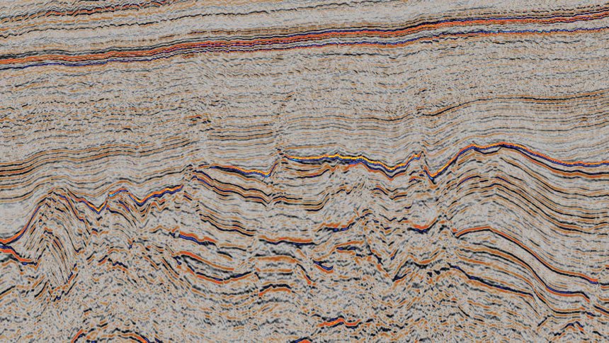
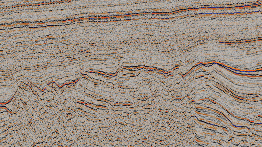
The MegaSurvey covers a variety of structural elements, such as the Utgard High, Vigrid Syncline, Dønna Terrace, Revfallet Fault Complex, and part of the Nordland Ridge. The GeoStreamer data added to this updated MegaSurvey provides high-quality, high-resolution seismic images that enable the mapping of complex fault zones and deep sections below the Base Cretaceous.
An arbitrary line over the Norwegian Sea showing key horizons.
rockAVO provides consistent petrophysical logs, rock physics models, and interactive seismic AVA modeling capabilities for each of the ten wells in the Atlas.
E&P companies can access part of the homogeneous database of interpreted well logs, making it possible to analyze the seismic signature (full stack with the MegaSurvey) based on different fluid and matrix property perturbations.
Please contact a member of our Europe team for more information.