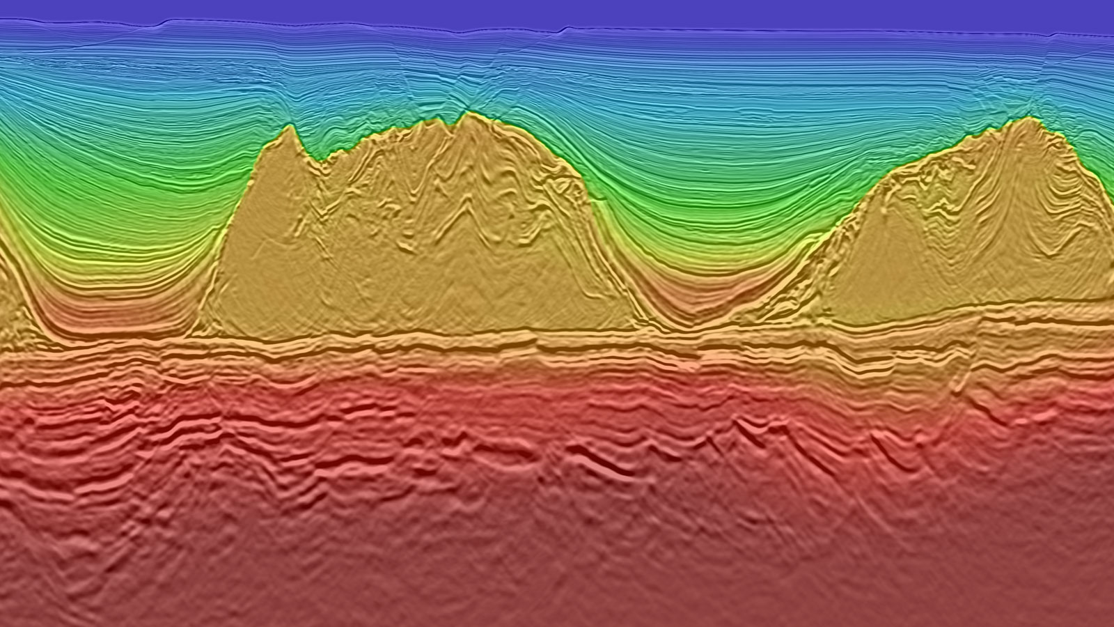
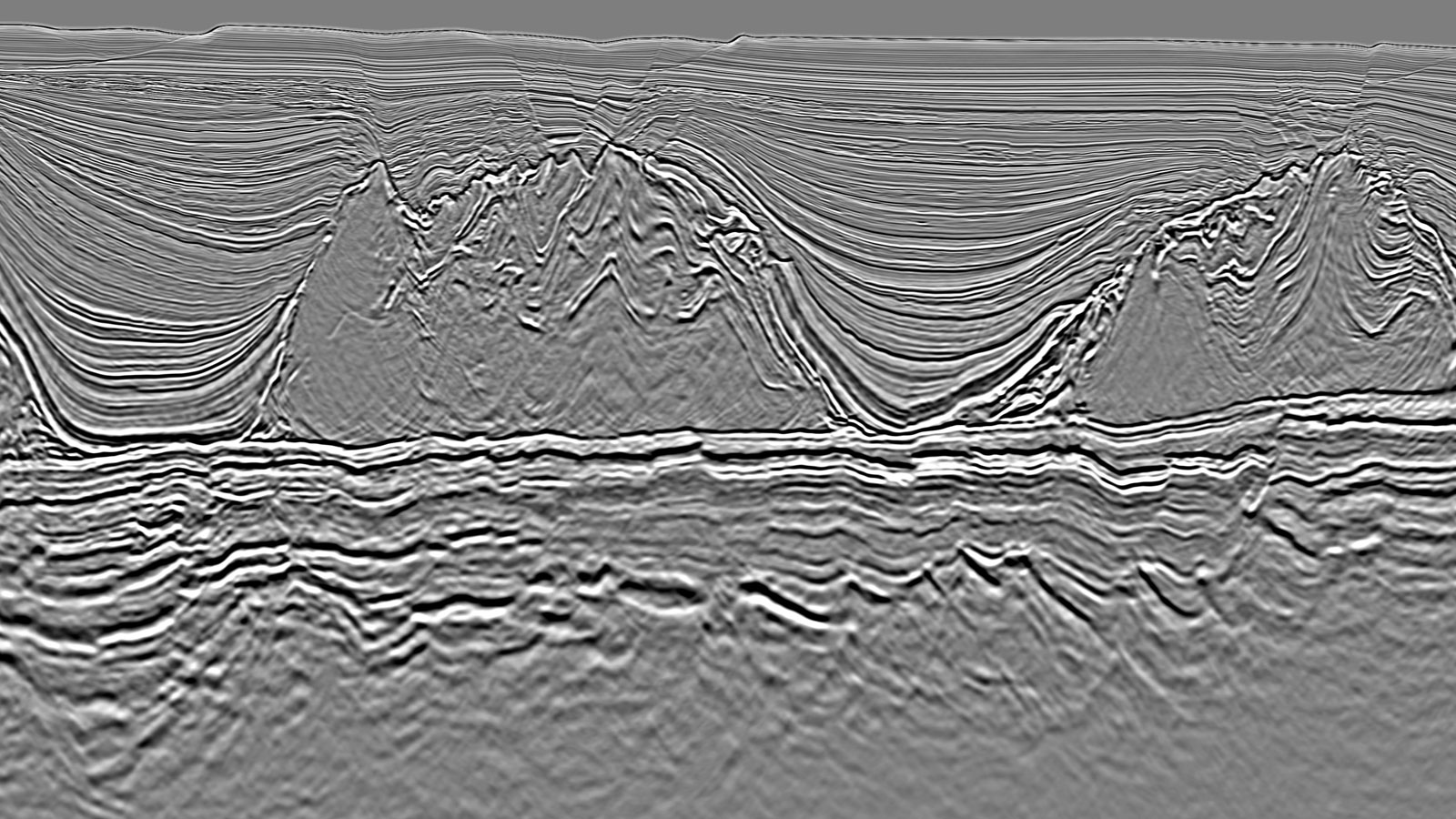
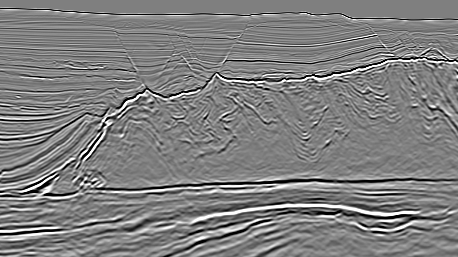
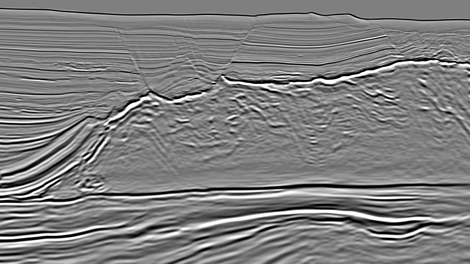
Santos Basin, Brazil

Seamless and Accurate Regional Presalt Imaging

Santos Basin, Brazil

Santos Vision delivers a geologically sound dataset to image hydrocarbon plays offshore Brazil. It mitigates exploration risk and provides a reliable seismic foundation to pursue new opportunities 

Location

Location
Santos Basin, Brazil
Reprocessed
2018 - 2020
Survey type
3D GeoStreamer and Conventional
Streamer Length
6 000 and 8 000 m
Survey Size
49 000 sq. km
Data Deliverables
Continuous broadband Kirchhoff/RTM/LSM PSDM

More than 49 000 sq. km of seismic data from 14 separate surveys have been merged into a single, seamless, high-quality broadband product (Santos Vision, orange outline) covering a large swath of the prolific Santos Basin. This Vision product extracts maximum fidelity from the legacy data, incorporating our latest technologies such as Reverse Time Migration (RTM), Full Waveform Inversion (FWI) and Least Squares Migration (LSM).

Challenge

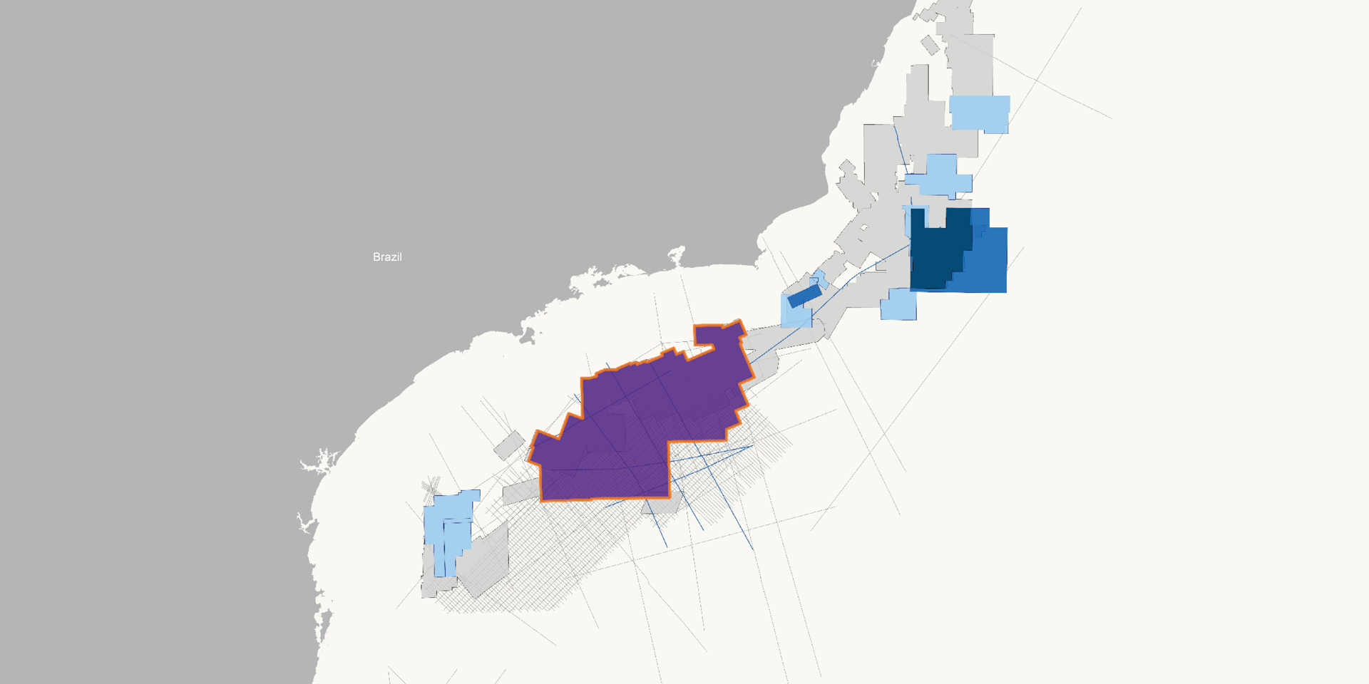
Reservoir targets in the Santos basin are localized in presalt carbonate build-ups underneath heterogeneously layered evaporite sequences and interbedded with volcanic rocks. On legacy data the presalt image is not well expressed, so the complexity of the salt and the differing character of the post-salt carbonates throughout the area needs to be understood and incorporated into the velocity model building process. The high degree of complexity within the salt, and the presence of areas with good reflectivity and others with little or no reflectivity must be accounted for in the modeling to obtain clear images.

Solution

Data
Broadband reprocessed
Processing
Full 3D demultiple
Velocity model building
PGS FWI and hyperTomo
Frequency range for FWI
2-10 Hz
Migration
Full bandwidth Kirchhoff, 35Hz RTM and LSM

One large, consistent velocity model is available for Santos Vision. It was built using a combination of geological interpretation, hyperTomo and FWI through the post-salt sediments to achieve an accurate velocity model of the area. Capturing the variability in the post-salt Albian carbonates and the layered evaporite sequence, as well as the avoidance of a hard velocity boundary at the base of the salt were key to this solution. The advantage of merging 11 surveys into a seamless broadband dataset is being able to pick and choose data without worrying about consistency.

Data Driven Velocity Model Building Through the Salt and Presalt

Migration
With Velocity Model

Our unique implementation of FWI utilizing the full wavefield was deployed and following the success of FWI in the post-salt sediments it was pushed deeper than ever before. Reflection based FWI enabled robust velocity updates in the presalt section and down to the acoustic basement throughout the entire 34 000 sq. km area.

LSM Offers Stunning Improvement in Imaging the Fault Patterns

RTM
LSM

An accurate velocity model was built using appropriate anisotropic parameters and avoiding hard velocity boundaries at the base of the salt. This enables excellent presalt imaging. Further image improvements are possible with PGS LSM. This technology delivers stunning resolution not only in the post-salt sequence but also in the imaging of fault patterns and sedimentary signatures in the prolific presalt sequence of the Santos Basin.

Results

One major objective of the reprocessing was to image the presalt stratigraphic signature and rift architecture as these are directly related to the play type characterized by presalt carbonate buildups along tilted or uplifted fault block highs. Santos Vision delivers high granularity imaging of the base salt, reveals reservoir presence and accurate imaging of the rift fault patterns beneath the salt mitigating the risk of CO2 invasion. Now with a large scale view in a single dataset, Santos Vision offers exploration companies access to accurate data and images to improve exploration, reduce risk and create their own vision of this prolific basin.

Image to the right - The structural conformity of the velocity model with the salt morphology and the overlying Albian carbonates is key for successfully imaging the presalt architecture and associated hydrocarbon reservoirs.

Find Out More