

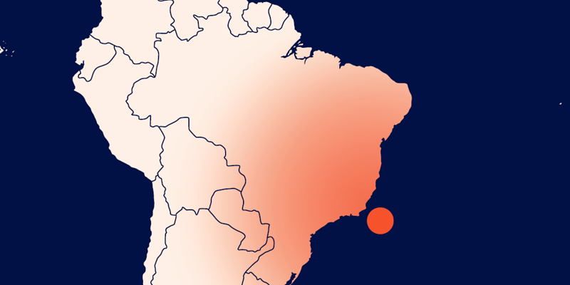
New PGS depth data for Campos Basin supports exploration of 2024 acreage nominations in deepwater blocks.
Campos Basin is a key area for exploration with significant hydrocarbon potential, however seismic imaging of its complex subsurface structures and reservoirs can present challenges.
The PGS Campos Deepwater MultiClient program was developed to provide optimal solutions for this exciting and demanding region. It makes the best use of conventional, GeoStreamer and GeoStreamer X acquisition techniques to enhance the illumination and resolution of the seismic images, especially in the pre-salt area.
The latest portion of this program delivered an additional 5 000 sq. km of high-end imaging covering the Larimar pre-salt block. ANP recently confirmed that this area will be included in the 2024 licensing round.
The Larimar block is covered by two PGS advanced broadband products, the northern portion of the dual azimuth Campos Deepwater GeoStreamer X dataset and the Campos Deepwater Vision. The latter used state-of-art broadband preprocessing and imaging techniques, including full waveform inversion (FWI), to rejuvenate conventional east-west azimuth continuous long offset (CLO) data acquired in the early 2000s.
Campos Deepwater Vision Supports New Acreage Nominations
Campos Deepwater Vision was used to support the nomination of the Larimar pre-salt block and several targets interpreted are in its high-quality data.
The next permanent offer production sharing bid round will include this area, and ANP estimates the Larimar block holds an unrisked volume of 1.46 bboe in the pre-salt, with one main prospect and several upsides, all with low charge risk and traditional four-way closures.
Addressing Challenges with FWI and Depth Imaging
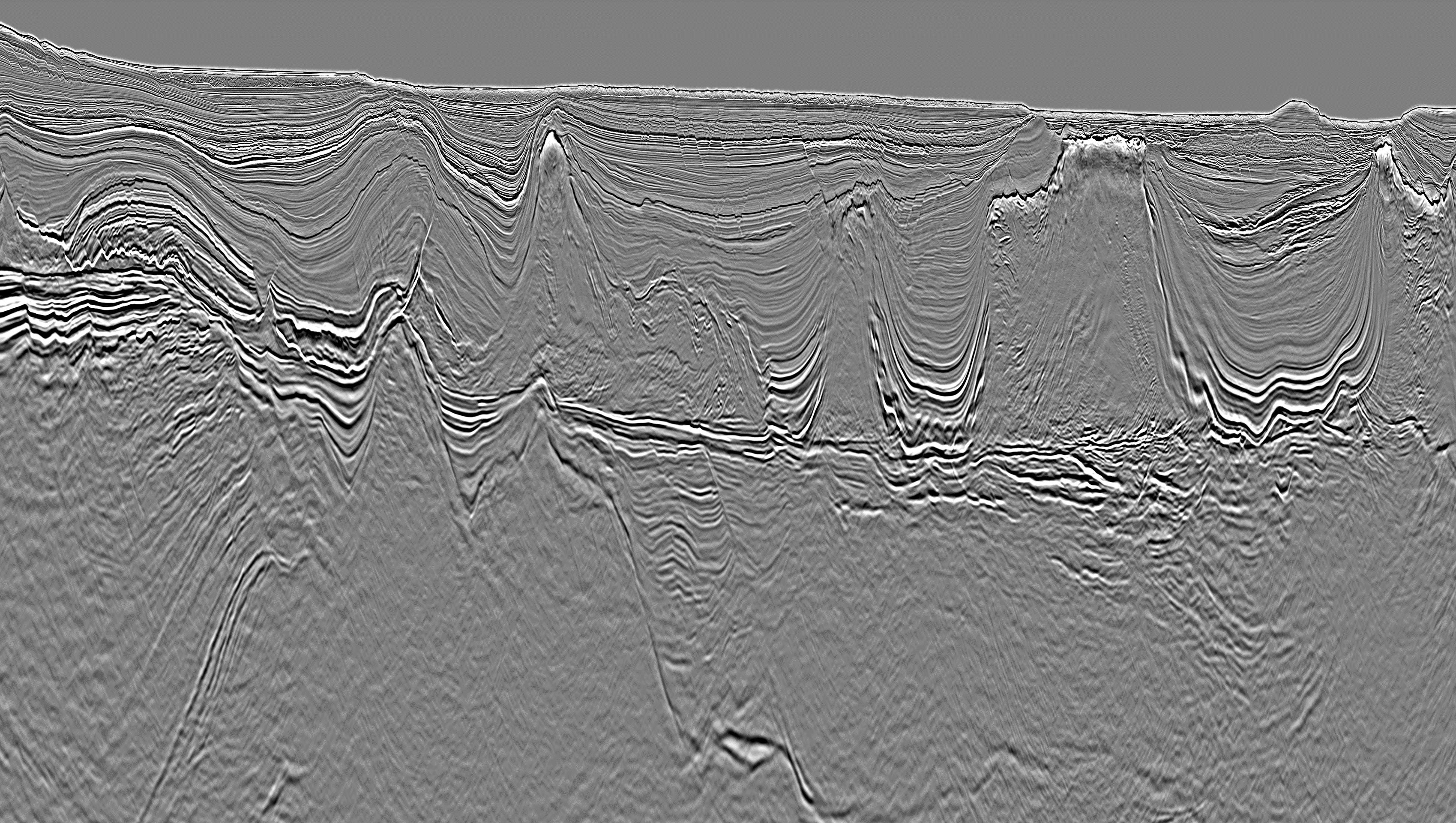
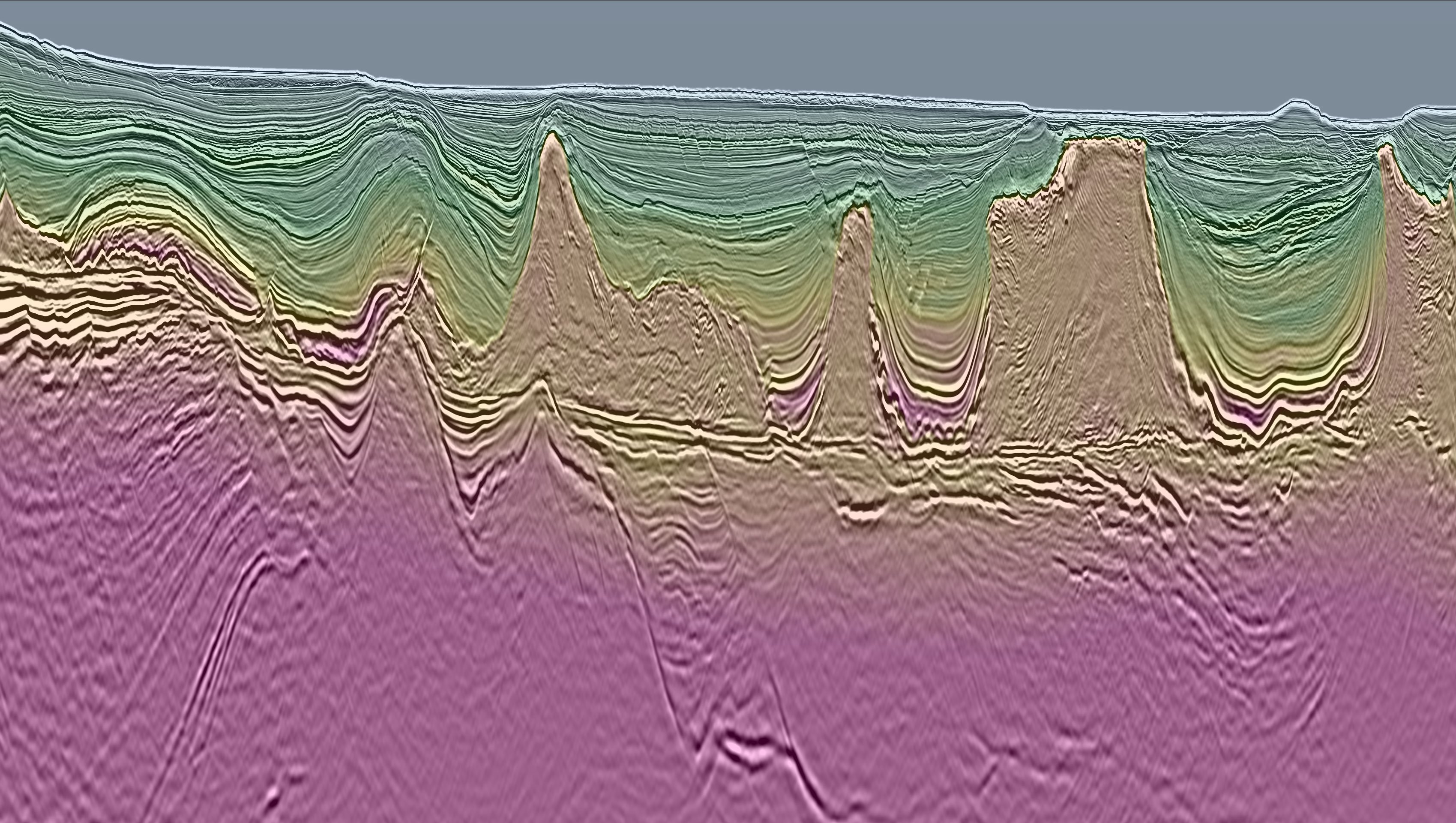
The geology of the Campos Basin has complex features that affect seismic data quality. Although the sedimentary overburden is relatively simple, a detailed velocity model is required to properly resolve the mass transport complexes (MTCs). Beneath the Albian carbonates lie layers of evaporites that can form diapirs with overhangs. Carbonate build-ups in the pre-salt section are the main exploration targets for this area.
The PGS data benefits from advanced PGS FWI, and a detailed velocity model that was created to addresses the challenges of imaging the Campos Basin pre-salt section. Use of FWI enhanced velocity model resolution and subsequent structural consistency at the base salt and the pre-salt layers, reducing the traditional model-induced undulations and increasing the confidence in the pre-salt domain. Read more in the Imaging section of our Campos HotSpot
The high-resolution velocity model was used to produce both Kirchhoff and reverse time migration (RTM) pre-stack depth products (PSDM). The Kirchhoff migration, a broadband depth imaging method, delivered high resolution images over the post-salt overburden, revealing a sharp fault system that was not visible on the legacy data. The RTM, with a 45Hz maximum frequency, delivered reliable and clear pre-salt imaging, improved salt definition with clear and kinematically correct base of salt and pre-salt imaging.
Data rejuvenation and Kirchhoff migration delivered broadband depth imaging, which directly impacts understanding of the fault system.
Assess Larimar Block for 2024 Licensing
Data rejuvenation and Kirchhoff migration delivered improved broadband depth imaging that directly impacts understanding of the fault system. Brazil's national petroleum agency ANP estimates the Larimar block may hold an unrisked volume of 1.46 bboe in the pre-salt, with one main prospect and several upsides, all with low charge risk and traditional four-way closures.
Revealing Prospectivity with PGS Data
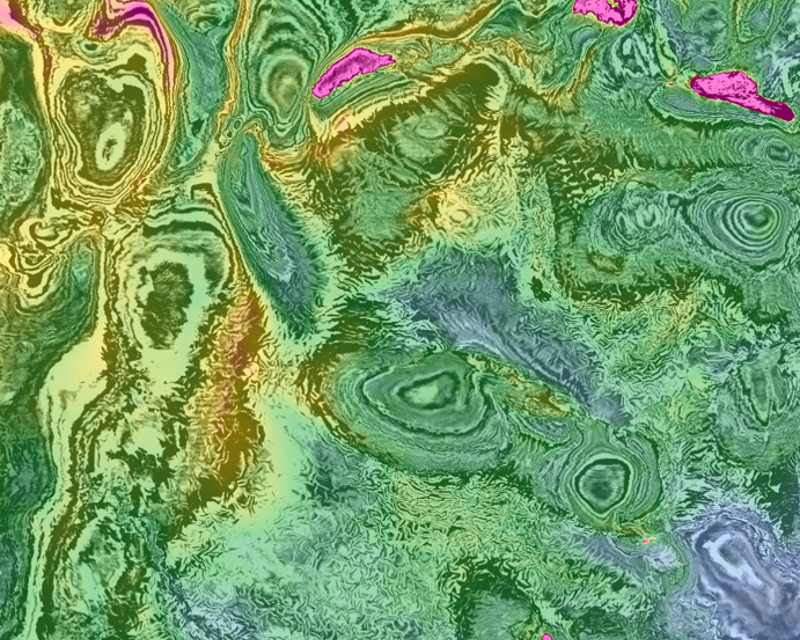
Overall, the Campos Basin holds significant potential for exploration and production, and continued investment will likely unveil new discoveries in the years to come. A group of undrilled prospects mapped on PGS seismic data, carbonate build-ups and microbial platforms, display strong AVO responses. These are used to plot and nominate license blocks through the ANP for future Permanent Offer Rounds.
To access PGS data for the Larimar Block, please contact a member of the team at nsa.info@pgs.com. Or read more about geology, imaging and PGS data coverage in our Campos Basin HotSpot.


Contact a PGS expert
Please contact a member of our Brazil team for more information.