

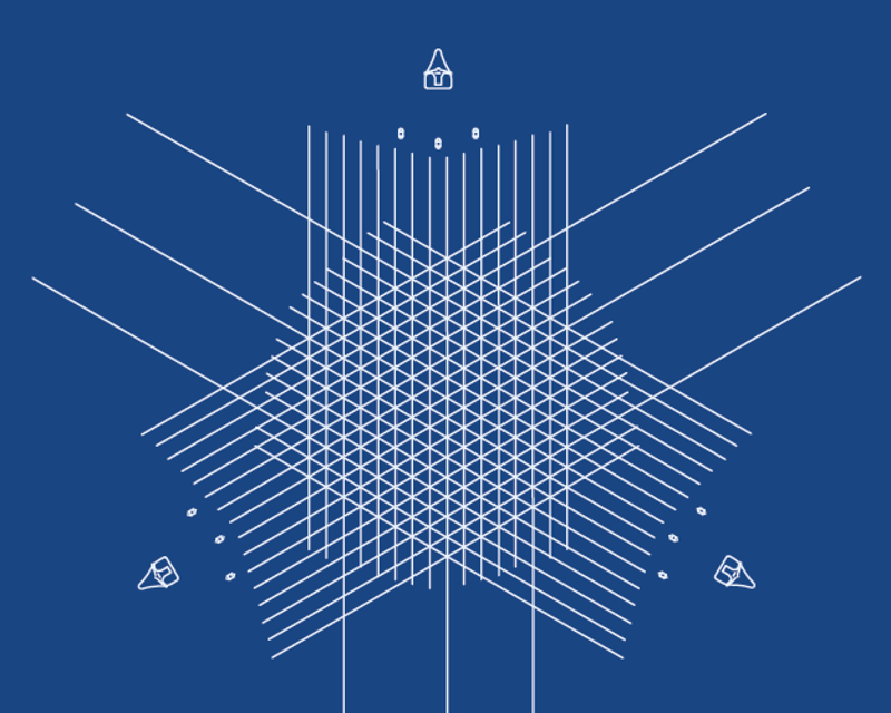
- GeoStreamer X multi-azimuth surveys (MAZ) can enhance subsurface illumination, reservoir property determination, and velocity model updates. MAZ can be achieved using one or more vessels
- Adding some long streamers to the spread can improve deeper imaging and FWI. In complex salt environments, two or more vessels can significantly extend the long-offset coverage
- Additional data from ocean bottom nodes may yield enrich offset or azimuth coverage to improve seismic imaging
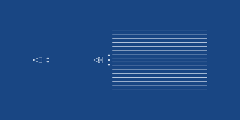
- Wide-tow source configurations can improve near-offset coverage for shallow imaging and AVO
Tailored Solutions
Tailoring acquisition geometries makes it easier to solve imaging challenges, as illumination and data quality increase with the amount and diversity of data acquired. Geophysical objectives and project economics determine the right solution.
From single sail line to full-azimuth coverage PGS provides flexible survey designs that address any subsurface challenges. We optimize the 3D sampling of offsets and azimuths, offering wide-tow sources and dense streamers for improved near-offset distribution, long streamers for accurate velocity model building, or integrated towed streamer and node data.
GeoStreamer X
GeoStreamer X combines multisensor broadband fidelity with rich azimuth illumination. Acquisition design can include wide-tow sources, dense streamers for improved near-offset distribution, and long streamers for accurate velocity model building. The strategy can upgrade data in any geological regime.


Contact a PGS expert
If you have a question related to our Marine Acquisition services or would like to request a quotation, please get in touch.