

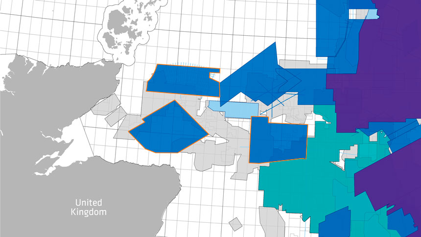
Outer Moray Firth | PGS Data
In 2018 PGS acquired three Multisensor GeoStreamer data surveys in the Inner and Outer Moray Firth. Triple source high-density data are processed using the latest PGS processing technology, including Complete Wavefield Imaging (CWI) and anisotropic TTI Kirchhoff PSDM. The surveys enhance understanding of prospectivity of the mature Outer Moray Firth area and provide exploratory datasets around the West Bank High area, the Wick Sub-basin, and Caithness Ridge.
PGS Presents
PGS account manager, Simon Baer, will give a presentation about our newly acquired Moray Firth surveys.
The talk will provide insights into prospectivity and a QI study on the newly acquired Outer Moray Firth surveys. Several structural and stratigraphic leads were identified comprising Upper Jurassic and Lower Cretaceous sandstone reservoirs plays. Furthermore, the PGS GeoStreamer data reveals potential in underexplored deeper targets. The QI study proves that the data is AVO compliant and seismic attributes are tied to exploration wells for regional lead evaluation.
With new broadband data come new insights. The Outer Moray Firth is rapidly attracting attention as new data unlocks unrevealed exploration potential.
Find Out More
The event is free to attend, go to the conference webpage here to register.
To arrange a viewing of our North Sea data, or for more information, please contact europe.info@pgs.com
Event Summary
Contact: simon.baer@pgs.com
Event: Outer Moray Firth SIG 2020
Date: 2 March 2020
Location: Norwood Hotel, Aberdeen