

The UK 31st Round (part 1) shifts exploration focus to frontier areas. PGS has 9 000 sq. km of GeoStreamer data over the announced blocks to unlock the remaining potential of the edges, platforms and underexplored basins.
Ongoing data acquisition promises to reveal a large swathe of the Moray Firth-Orcadian Basin area. Phase 1 covering the outer Moray Firth is now complete and processing is ongoing. Phase 2 focuses on the inner area of the Moray Firth. High-density GeoStreamer data and modern imaging technology will address the imaging challenges to improve the understanding of the reservoir potential.
The East Shetland Platform is a key area situated at the periphery of the mature graben axes of the North Sea rift system. PGS MultiClient 3D GeoStreamer data has imaged a number of large Palaeozoic structures with a prospective working petroleum system in this area.
Extractions from the PGS data library on the East Shetland Platform and surrounding areas provide well ties for the UK Oil and Gas Authority’s 2D lines (also GeoStreamer).
For further information on all our coverage for the round and the latest updates on our MultiClient Data Library throughout all of the UKCS contact us europe.info@pgs.com
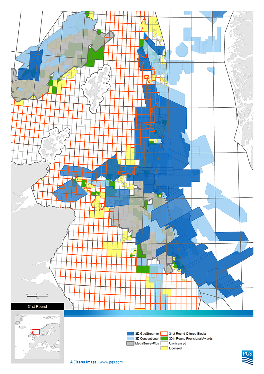
PGS has 9 000 sq. km of GeoStreamer data over the announced 31st round blocks
Contact a PGS expert
Please contact a member of our Europe team for more information.